
City map
Every landmark, food stop and viewpoint, plus three self-guided walks.
Filter what you see
Tick a layer to show or hide it. Tap any pin for hours, prices and a
link to the full guide. Points come from data/map.json.
Map data © OpenStreetMap contributors. Tiles © OpenStreetMap.
Self-guided routes
Each route is one-way, ordered to avoid backtracking, and opens in Google or Apple Maps with every stop pre-loaded.
Using this map without signal
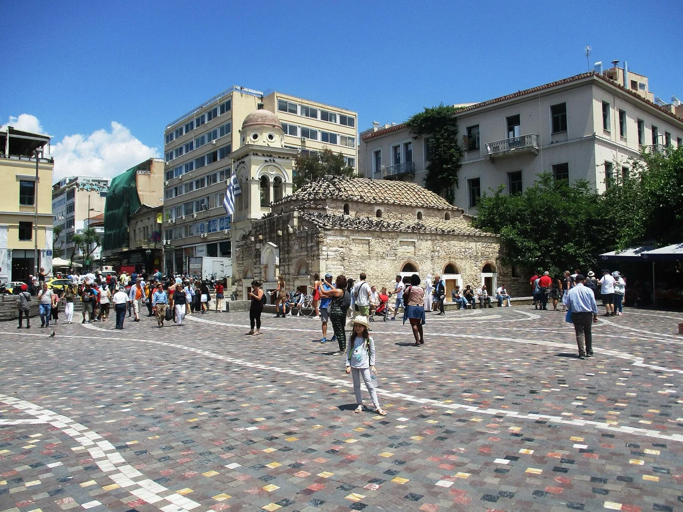
Download offline maps before you land: in Google Maps, search “Athens”, tap the place name, then “Download offline map” and select the central Attica tile (roughly 300–500 MB covers Plaka, Monastiraki and the Acropolis slopes). Organic Maps (free, OpenStreetMap-based) lets you download the Athens region without an account — useful when mobile data drops inside the Acropolis ticket gates or on the south slope at Dionysiou Areopagitou.
Eleftherios Venizelos Airport (ATH) is 33 km from the centre (aia.gr, checked Aug 2026) — download maps on hotel Wi-Fi before your first walk. The pins on this page cover the Acropolis (€30, odysseus.culture.gr), Ancient Agora (€10), Panathenaic Stadium (€10), both major museums and the walkable neighbourhoods between Plaka and Monastiraki. OASA metro Lines 1, 2 and 3 link Monastiraki, Syntagma and the airport Line 3. For prepaid SIM and eSIM options see Essentials → Connectivity; EU roaming covers most European plans at no extra cost.